The history of Molokini Crater
Molokini is one of Hawaii’s most recognizable landmarks: a crescent of volcanic rock about three miles off Maui’s south coast, ringed by one of the healthiest reefs in the islands. Its story runs from an underwater eruption, through centuries of Hawaiian fishing and legend, to a stretch as a military target, and finally to its protection as a marine sanctuary.
How Molokini formed
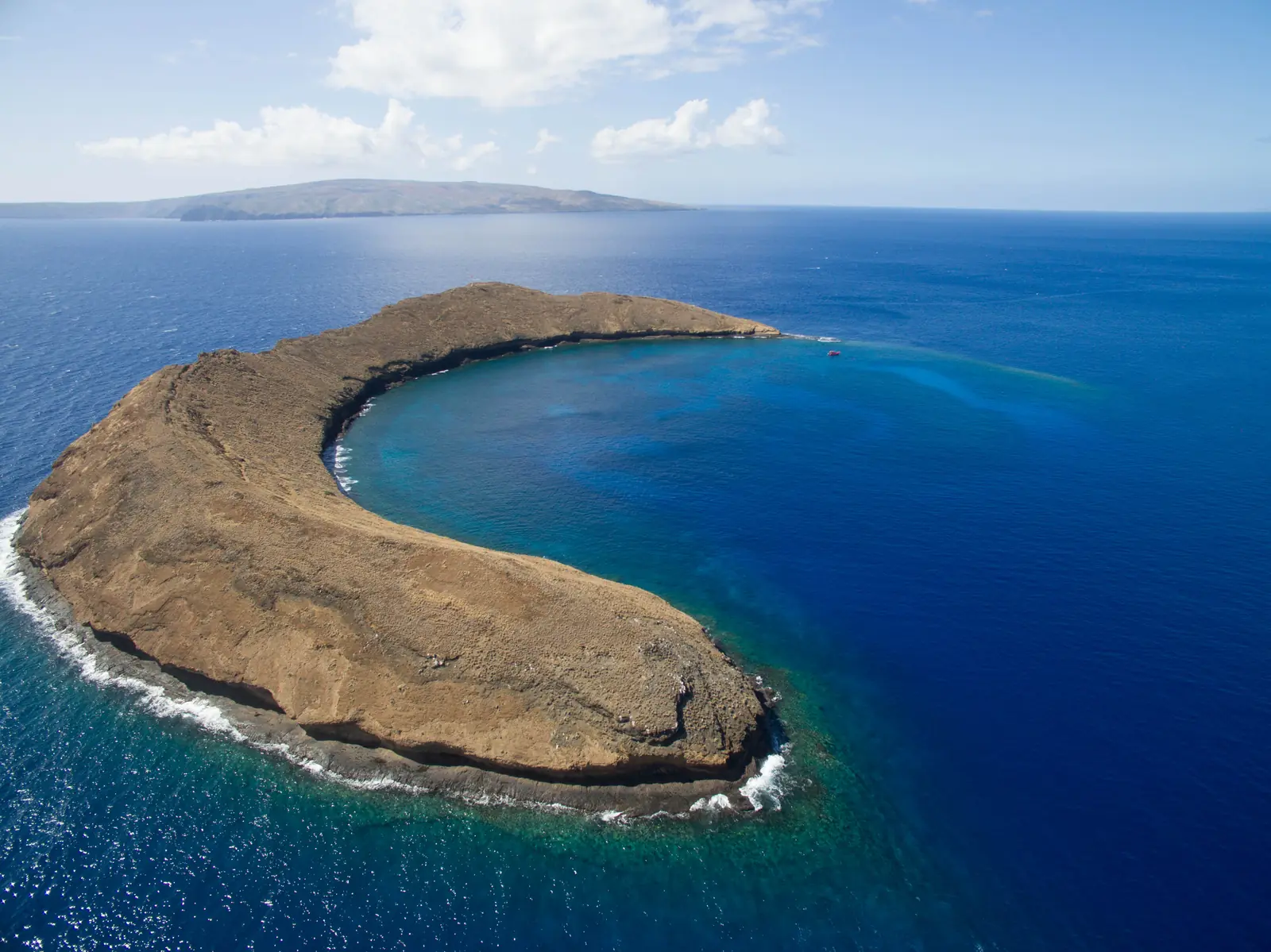
Molokini is a tuff cone, the kind of volcano that forms when rising magma meets seawater. Geologists estimate it erupted roughly 230,000 years ago along the southwest rift zone of Haleakalā, the volcano that makes up East Maui. Because the eruption happened in shallow water, the contact between molten rock and the ocean set off violent steam explosions that shattered the lava into ash and glassy fragments. Those fragments settled and hardened into the layered, yellow-brown rock you see on the islet today.
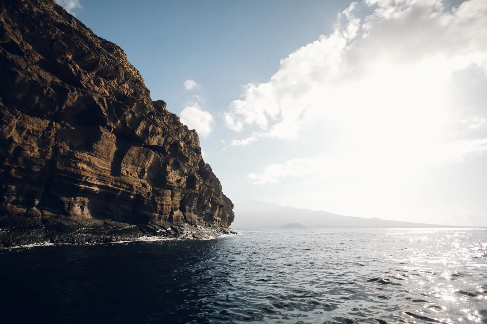
Over time, waves and erosion wore away the northern side of the cone, which now lies underwater, leaving the crescent-shaped southern rim. That rim rises roughly 160 feet above the sea, and the islet covers about 20 acres. The sheltered water inside the curve is where reef grew and where most snorkeling happens today; the outside of the rim, the back wall, plunges hundreds of feet into deep water.
Molokini in Hawaiian tradition
With no fresh water or beaches, Molokini was never settled, but it was well known to Native Hawaiians, who fished its rich waters for generations. Traditional fishing was governed by the kapu system of rules about when and how resources could be taken, practices that helped keep reefs like this one productive.
The best-known legend links Molokini to Pele, the goddess of fire and volcanoes. In one version, Pele became jealous of a woman loved by the man Pele desired, and she cut the woman in two. One half became Puʻu Ōlaʻi, the cinder cone at Mākena Beach, and the other became Molokini. Like many Hawaiian stories, it is told in more than one way, but the connection between the two landmarks is a common thread.
World War II: a target in the channel
During World War II the U.S. military used Molokini for target practice, because its shape made a convenient stand-in for a ship. Bombing and strafing damaged the islet and the reef around it. After the war, years of advocacy by Maui residents helped bring an end to the damage and set the stage for protection.
A protected sanctuary
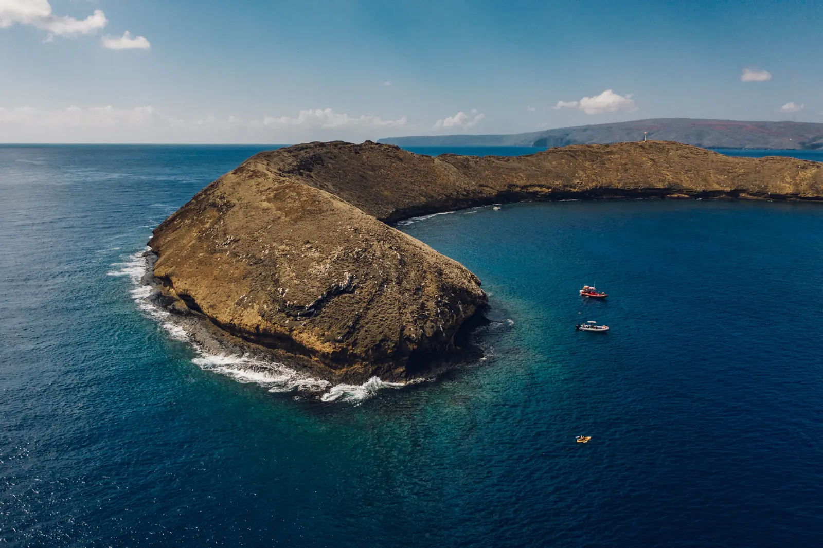
Today Molokini is a state seabird sanctuary, and the water around it, roughly 77 acres, is a Marine Life Conservation District, one of the most tightly protected kinds of marine area in Hawaii. That means:
- No fishing, and no taking of any marine life, coral, rock or shells
- No feeding fish or disturbing wildlife
- Commercial boats tie up to permitted moorings rather than dropping anchor on the reef
- The islet itself is closed to landing to protect nesting seabirds
Under protection the reef has recovered remarkably. Marine biologists have recorded more than 250 fish species and 38 species of coral at Molokini, and on calm days the water is clear enough to see the bottom 100 feet or more below.
Visiting Molokini today
The only practical way to experience Molokini is on a permitted tour boat, and you can choose from rafts, catamarans and sailboats leaving from three places: Mākena, the Kīhei Boat Ramp and Māʻalaea Harbor. Whichever you choose, you’re visiting a place that has been both damaged and restored by people, which is a good reason to follow the rules: look, don’t touch, and use reef-safe sunscreen.
Ready to go? Compare every Molokini snorkel tour, or read our Molokini Crater visitor guide and fish guide.